Project 1: ARCEME: Adaptation and Resilience to Climate Extremes
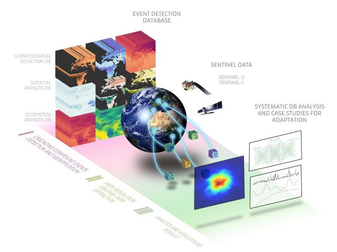
The ARCEME project will investigate how extreme climate and weather events affect human well-being and the interaction between people and the environment during these events. Human-induced climate change is increasing the frequency and intensity of certain types of weather and climate extremes, sometimes in direct succession or at the same time. ARCEME aims to assess the impact of this from different perspectives and at different scales. The project will be based on an innovative combination of Earth observation, climatological and socio-economic data. For example, the researchers will study situations where several different hazards or natural disasters occur simultaneously or in rapid succession, such as successive floods or floods following a period of drought. They want to find out under what conditions these are likely to have an impact on society. Research on this topic will boost efforts to adapt to the effects of climate change.
This project provides an excellent opportunity to exploit the potential of ESA Sentinel data in a systematic, large-scale analysis. The Sentinel satellites are the ESA’s flagship Earth observation programme. They provide satellite imagery with very high spatial resolution.
The project is being carried out in collaboration with the Max Planck Institute for Biogeochemistry in Jena and CouldFerro, a major European company in the space sector.
Project 2: DeepFeatures: A new approach to analysing Earth dynamics
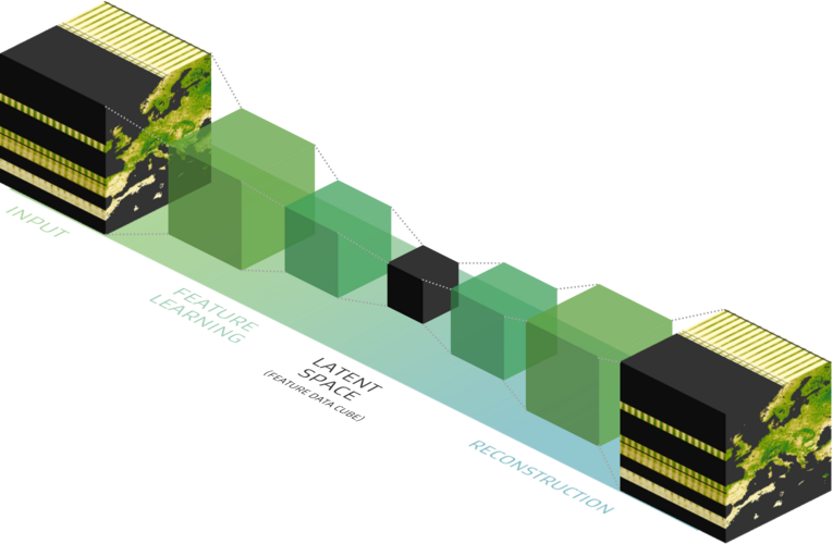
By using artificial intelligence (AI) in innovative ways, the DeepFeatures project aims to gain a more holistic understanding of the dynamics of the Earth system. Until now, individual spectral indices – that is, data from light measurements – have been used to quantify specific properties of Earth system dynamics, such as photosynthetic processes or vegetation structure. On their own, however, they can be very limited in terms of the information they provide. There is currently no holistic, data-driven approach that combines and exploits these Earth observations. The idea behind DeepFeatures is to use AI-based techniques to detect representative structures hidden in the data, in order to develop more powerful methods for various Earth observation applications. Examples include the classification of land cover types and the estimation of terrestrial gross primary production, which is the amount of CO2 assimilated globally by vegetation on the land surface. This is an important indicator of the productivity and functioning of the Earth’s ecosystems.
The project is being carried out in collaboration with Brockmann Consult GmbH, a German company in the space sector.
“These two projects underline our ambition to use Earth observation and artificial intelligence to gain a deeper understanding of the complex dynamics of our planet,” says Miguel Mahecha, Professor of Environmental Data Science and Remote Sensing at Leipzig University. With the support of the European Space Agency, these projects will not only provide valuable scientific knowledge, but also enable practical applications in the areas of climate adaptation, resilience enhancement and sustainable resource management.
